
MODULE 6: Farm Data Collection and Management: Hands-on Simulations
 Uzman Eğitmen
About
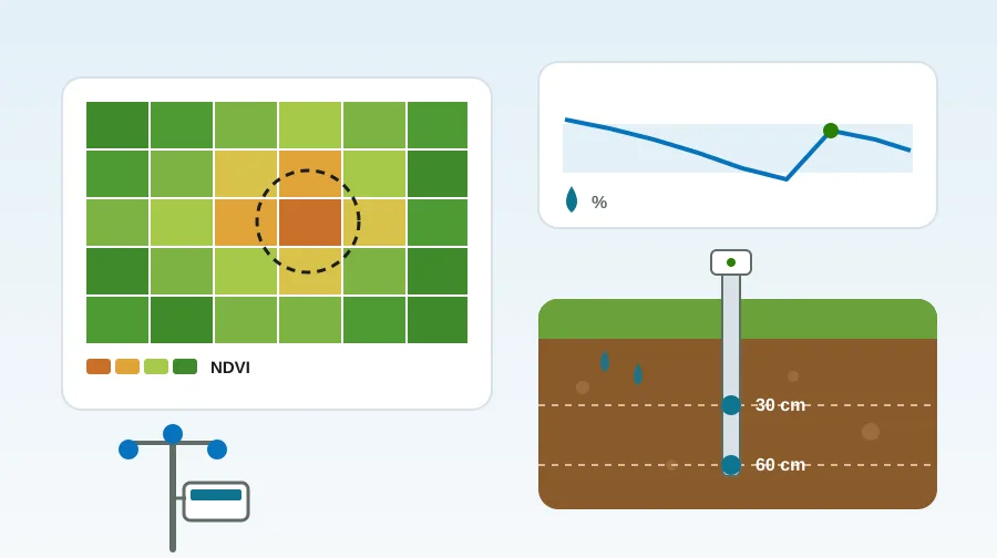
In this module you will learn by doing how to collect data in the field, read it and turn it into decisions. You will choose irrigation days with a soil moisture sensor, read frost and downy mildew risk from a weather station, and find a weak zone on a satellite map to draw a variable-rate fertiliser plan. In the last lesson you will look at record keeping, legal records and data sharing.
The simulations are simplified models. The fields are training scenarios; the values shown are not real measurements. NGO trainers and young farmer training programmes can also use this module for classroom practice.
You can discuss the question in the last lesson in the Digital Advocacy Hub.
What you'll learn
- Sort farm data by source and record a field observation in full
- Read a soil moisture sensor chart and choose when and how much to irrigate
- Interpret frost and grapevine downy mildew risk from weather station data, following the official instructions
- Find weak zones on a crop health map (NDVI) and plan a field check
- Draw a variable-rate fertiliser map and compare its cost with a uniform rate
- Keep records with a backup, share data with consent and set up the re-measurement cycle
Target Audience
- Farmers
- NGO representatives and trainers
- Young farmers
- Agriculture students
Requirements
- No prior knowledge is needed. Completing MODULE 1 and MODULE 2 first will make things easier.
- A phone, tablet or computer is enough. Turning your phone sideways makes map painting and the simulation more comfortable.
Curriculum
Section 1: Collecting Data1
- Collecting and recording data in the field 10 Minutes
Section 2: Deciding with Water and Weather Data2
- From soil moisture data to an irrigation decision 17 Minutes
- Weather station: frost and disease risk 12 Minutes
Section 3: From Map to Field2
- Weak zones on a satellite map 6 Minutes
- Variable-rate fertilisation 13 Minutes
Section 4: Managing Data2
- Managing data: records, sharing and re-measurement 9 Minutes
- MODULE 6 Assessment Quiz 10 Minutes
Frequently Asked Questions
Are the values in the simulations real?
No. The fields are training scenarios. The values were chosen from ranges in the sources or are clearly marked as scenario values. Your own field needs measurement and expert advice.
I don't have a sensor or a drone. Is this module useful to me?
Yes. You need no device for record keeping, field observation or reading warnings. Copernicus satellite data is free, and the agricultural frost warnings of the Turkish State Meteorological Service (MGM) are open to everyone.
How do I get a certificate?
Complete all lessons, score at least 60% on average in the activities and pass the module quiz with at least 80 points. You can take the quiz as many times as you like.
Does it work on a phone?
Yes. All activities open on a phone. Turning your phone sideways makes map painting and the irrigation simulation easier.
Instructor
Uzman Eğitmen
You might also like
 Drones and Robotics
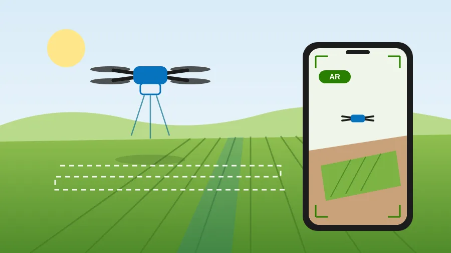
MODULE 5: Drone Flight Simulation and Augmented Reality
Try drone work in simulation, from flight preparation to the spraying record. Fly mapping and spraying missions in…
 Precision Agriculture
MODULE 1: Introduction to Precision Agriculture and Sustainability
This training comprehensively covers the fundamental principles of precision agriculture and the concept of sustainable farming. Participants will…
 Smart Technologies
MODULE 2: Smart Farming Technologies and Data Management
This training comprehensively covers the concept of smart farming and the importance of digital transformation in agriculture. Participants…